

MapTiler SDK Examples
29An all-in-one SDK with built-in geocoding, terrain, and cloud tiles. All examples use MapTiler Cloud tiles.

mapMap Display & Interaction

3D Building Extrusions with MapTiler SDKAdd 3D building height extrusions using a fill-extrusion layer from the vector tile source.
chevron_right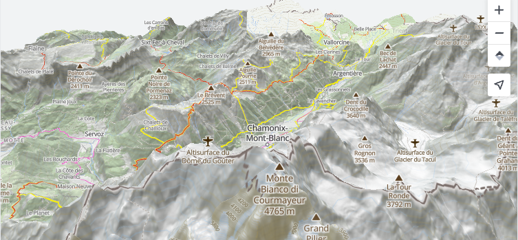
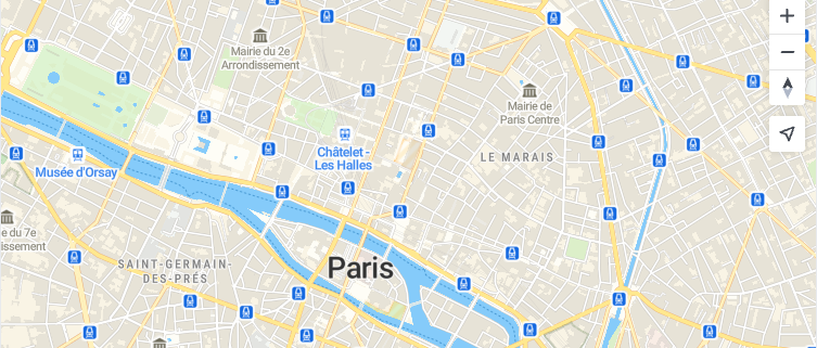
3D Terrain with MapTiler SDKEnable 3D terrain visualization using the SDK built-in enableTerrain helper.
chevron_right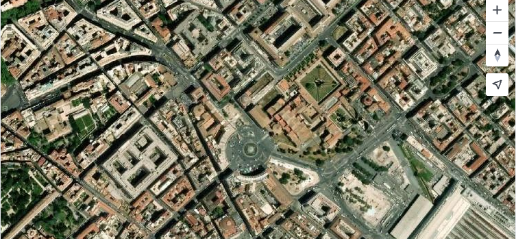
Satellite Basemap with MapTiler SDKDisplay a satellite imagery basemap using the MapStyle.SATELLITE constant.
chevron_right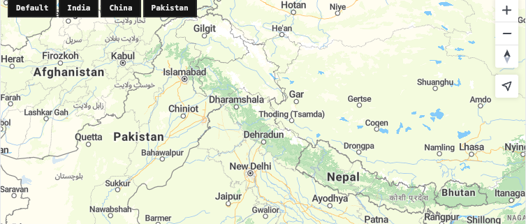
Disputed Borders View with MapTiler SDKShow country-specific border representations by filtering disputed boundary layers based on the claimed_by property.
chevron_right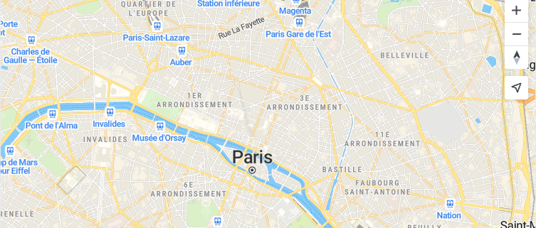
Configure Map Gestures with MapTiler SDKEnable cooperative gesture handling so users must Ctrl+scroll to zoom the embedded map.
chevron_right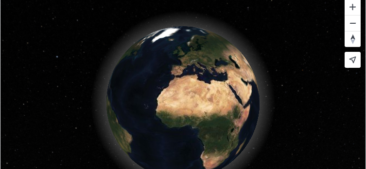
Globe Projection with MapTiler SDKDisplay a 3D globe view using the globe projection in MapTiler SDK.
chevron_right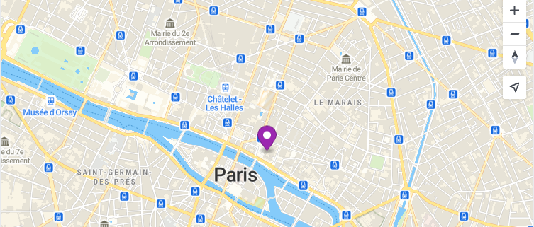
Initialize a Map with MapTiler SDKCreate a maptilersdk.Map with built-in MapTiler cloud integration, navigation controls, and a marker.
chevron_right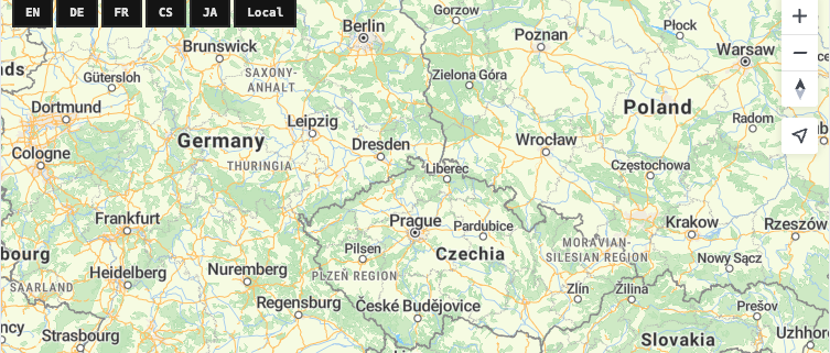
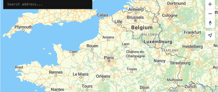
Set Map Language with MapTiler SDKChange map label language at runtime with the SDK-exclusive setLanguage() method: no style reload needed.
chevron_right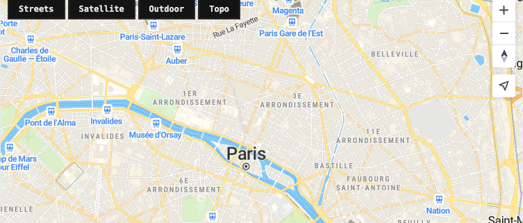
Switch MapStyle with MapTiler SDKDynamically change between MapTiler map styles using the MapStyle constants and the setStyle method.
chevron_right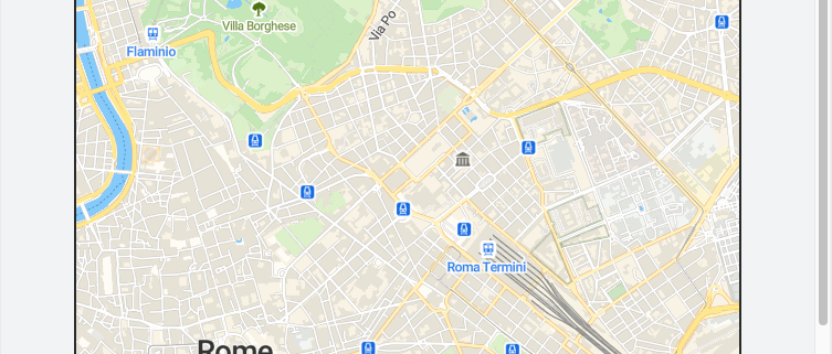
Static Map Image with MapTiler SDKDisplay a non-interactive map image using the MapTiler Static Maps API alongside an interactive MapTiler SDK map.
chevron_rightpin_dropMarkers, Annotations & Overlays
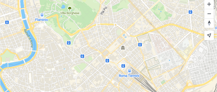
Custom Marker Icons with MapTiler SDKCreate markers with custom HTML elements or SVG icons using the MapTiler SDK marker API.
chevron_right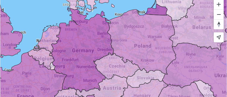
Data-Driven Choropleth with MapTiler SDKCreate a data-driven choropleth map using fill layer paint expressions with MapTiler SDK.
chevron_right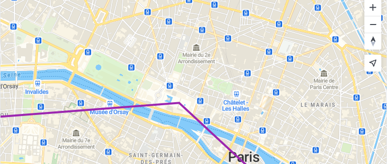
Line Layers with MapTiler SDKDraw a line on the map using a GeoJSON source and a line layer with custom paint properties.
chevron_right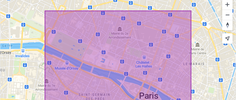
Fill Layers with MapTiler SDKDraw a filled polygon on the map using a GeoJSON source and a fill layer with MapTiler SDK.
chevron_right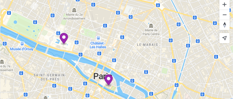
Add Markers and Popups with MapTiler SDKPlace maptilersdk.Marker instances with Popup information windows on a MapTiler SDK map.
chevron_right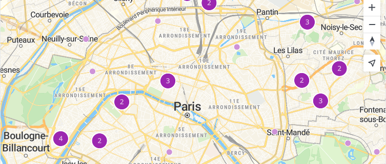
Point Clustering with MapTiler SDKCluster dense point data using a GeoJSON source with built-in clustering support in MapTiler SDK.
chevron_right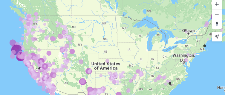
Style Expressions with MapTiler SDKStyle map features dynamically using data-driven expressions for color, size, and visibility in MapTiler SDK.
chevron_rightsearchGeocoding & Search
my_locationLocation & Real-Time
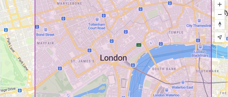
Geofencing with MapTiler SDKDefine a polygon boundary with MapTiler SDK and check whether a clicked point falls inside or outside the geofence.
chevron_right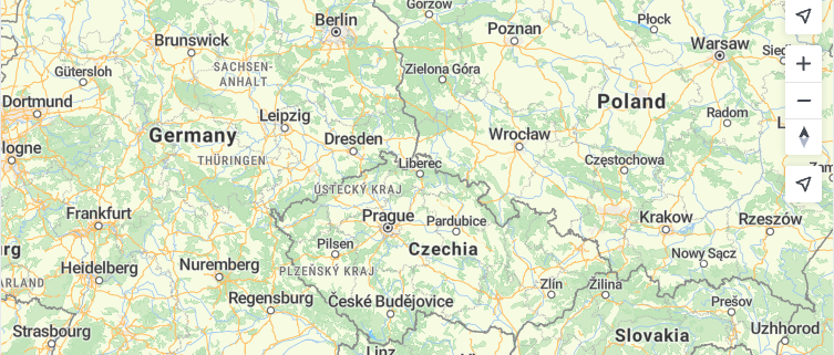
Geolocation Control with MapTiler SDKShow the user's current location on the map using the built-in maptilersdk.GeolocateControl with tracking.
chevron_right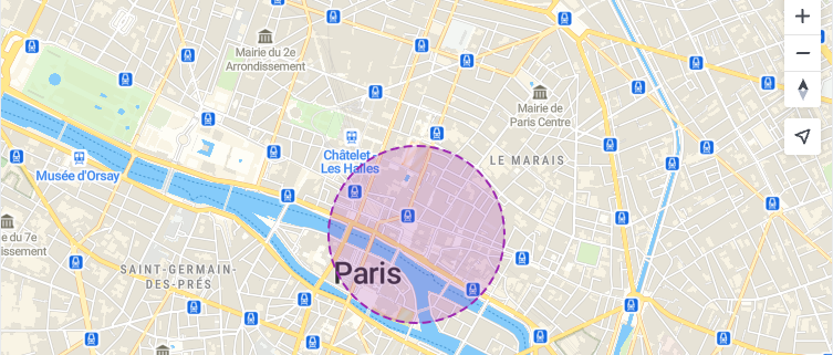
Fuzzy Location Circle with MapTiler SDKDisplay an approximate location as a fuzzy circle polygon layer instead of an exact point for privacy.
chevron_right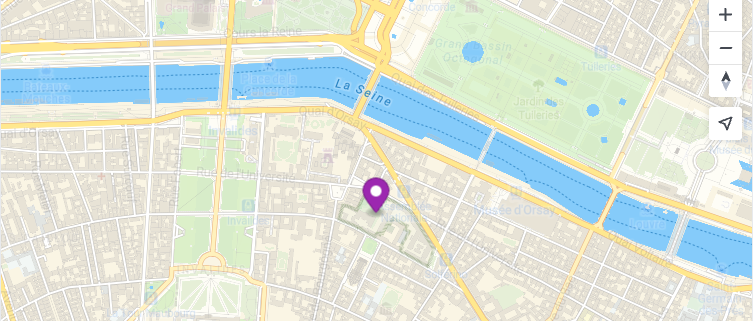
Live GPS Tracking with MapTiler SDKSimulate a moving marker that updates its position in real time along a path using MapTiler SDK.
chevron_rightinsightsAnalytics & Advanced
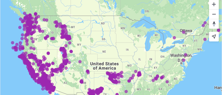
Animated Data with MapTiler SDKAnimate map features over time by updating paint properties in a requestAnimationFrame loop with MapTiler SDK.
chevron_right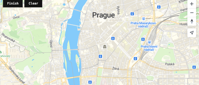
Drawing Tools with MapTiler SDKDraw polygons interactively by clicking on a MapTiler SDK map, collecting vertices into a GeoJSON source.
chevron_right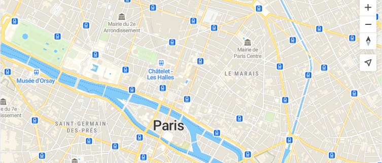
Export Map as PNG with MapTiler SDKCapture the current MapTiler SDK map view as a downloadable PNG image using the canvas export method.
chevron_right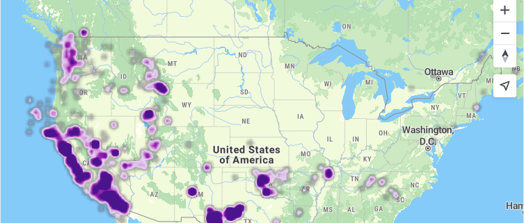
Heatmap Layer with MapTiler SDKVisualize point density using a native heatmap layer with customizable radius and color ramp.
chevron_right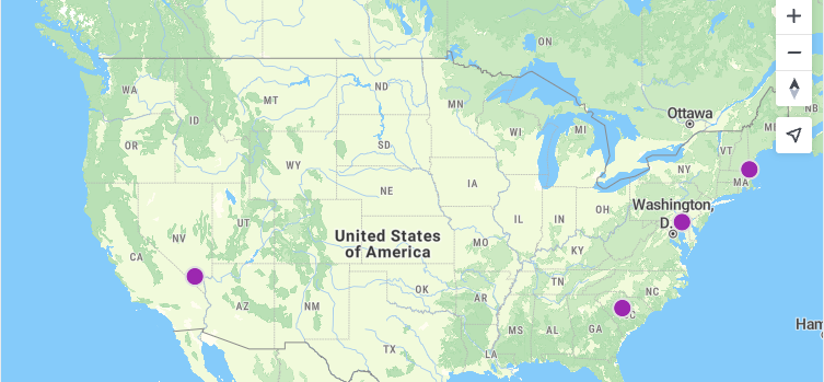
Load GeoJSON with MapTiler SDKLoad and display a GeoJSON file as a styled source and layer on a MapTiler SDK map.
chevron_right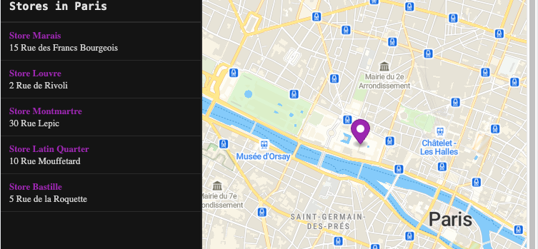
Store Locator with MapTiler SDKBuild a store locator with a sidebar list and interactive map markers using MapTiler SDK.
chevron_rightauto_awesome
Build maps using MapTiler SDK with AI
Install the MapTiler SDK skill in your IDE and let AI write the code for you.
All examples use MapTiler maps and require a free API key.