

OpenLayers Examples
22An enterprise-grade GIS library with advanced projections and formats. All examples use MapTiler Cloud tiles.

mapMap Display & Interaction
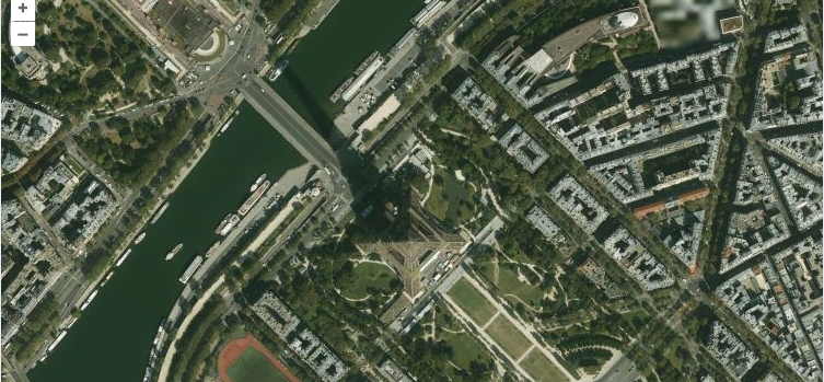
Satellite Basemap with OpenLayersDisplay MapTiler satellite imagery as a raster tile layer in OpenLayers.
chevron_right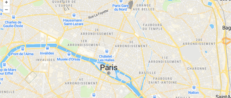
Configure Interactions in OpenLayersConfigure zoom, pan, and rotation interactions on an ol.Map using OpenLayers interaction defaults.
chevron_right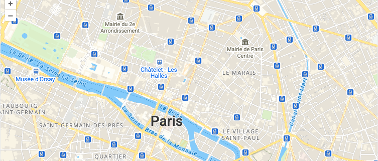
Initialize an OpenLayers MapCreate an ol.Map instance with MapTiler vector tiles using ol-mapbox-style and navigation controls.
chevron_right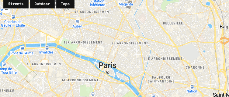
Switch Vector Styles in OpenLayersDynamically switch between MapTiler vector tile styles using ol-mapbox-style in OpenLayers.
chevron_right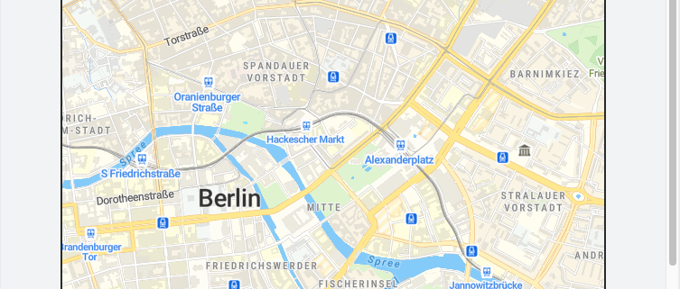
Static Map Image with OpenLayersDisplay a non-interactive map image using the MapTiler Static Maps API alongside an interactive OpenLayers map.
chevron_rightpin_dropMarkers, Annotations & Overlays
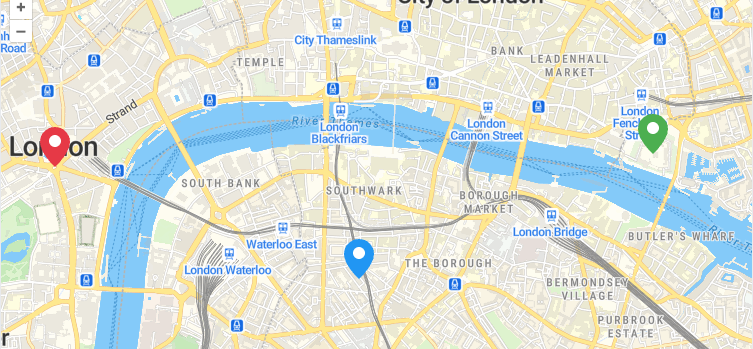
Custom Marker Icons with OpenLayersStyle point features with custom icons using ol.style.Icon with SVG or PNG sources.
chevron_right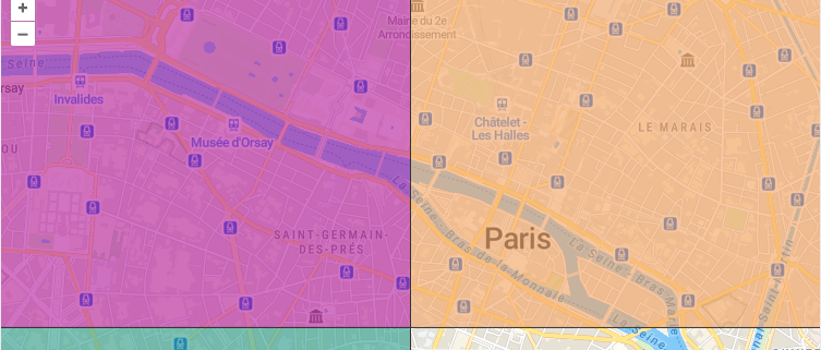
Choropleth Map with OpenLayersCreate a data-driven choropleth map using a style function to color polygons based on property values.
chevron_right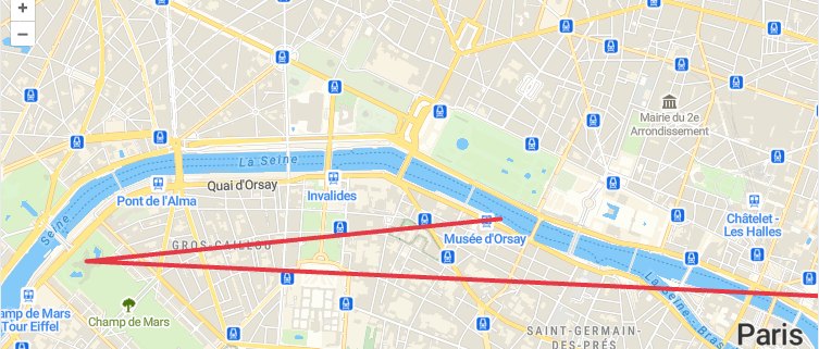
LineString Features in OpenLayersAdd a styled line to an OpenLayers map using a vector source with ol.geom.LineString geometry.
chevron_right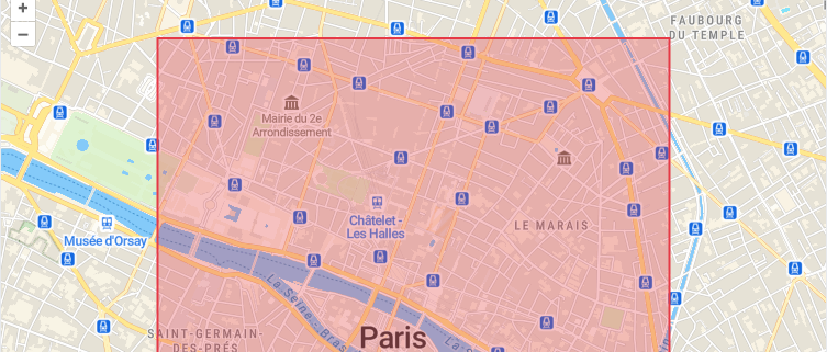
Polygon Features in OpenLayersRender a styled polygon area using a vector source with ol.geom.Polygon and custom fill/stroke styles.
chevron_right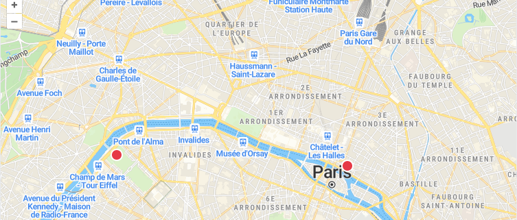
Add Markers and Popups in OpenLayersPlace point features on a vector layer and display popups with ol.Overlay on click in OpenLayers.
chevron_right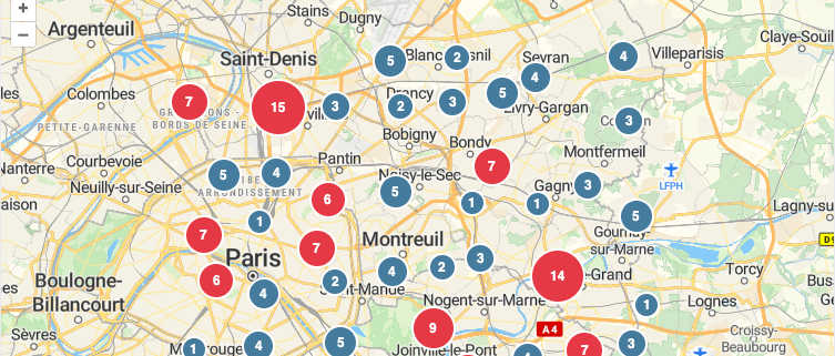
Point Clustering with OpenLayersGroup nearby point features into clusters using ol.source.Cluster with dynamic styling based on cluster size.
chevron_right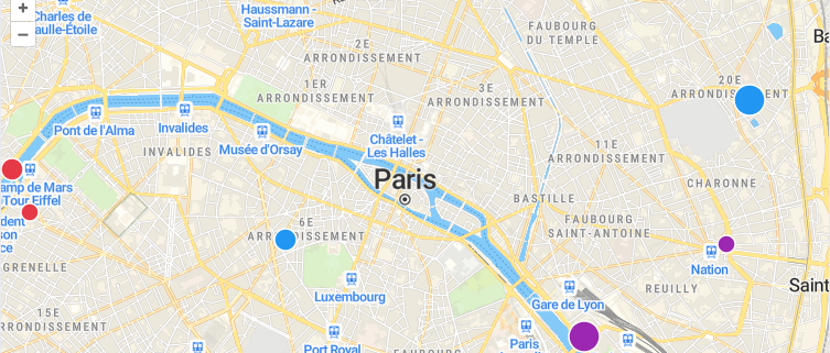
Data-Driven Styling with OpenLayersStyle vector features dynamically based on data properties using OpenLayers style functions.
chevron_rightsearchGeocoding & Search
routeRouting & Navigation
my_locationLocation & Real-Time
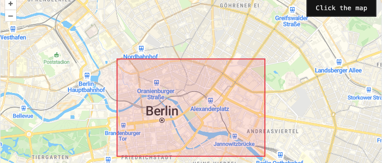
Geofencing with OpenLayersDefine a polygon boundary in OpenLayers and check whether a clicked point falls inside or outside the geofence.
chevron_right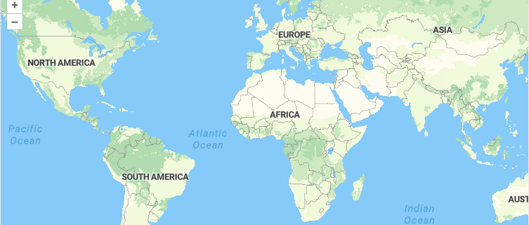
Geolocation with OpenLayersTrack and display the user's current position as a point feature on an OpenLayers map using the browser Geolocation API.
chevron_rightinsightsAnalytics & Advanced
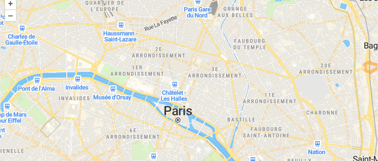
Draw Interaction in OpenLayersLet users draw points, lines, and polygons on the map using ol.interaction.Draw with a vector source.
chevron_right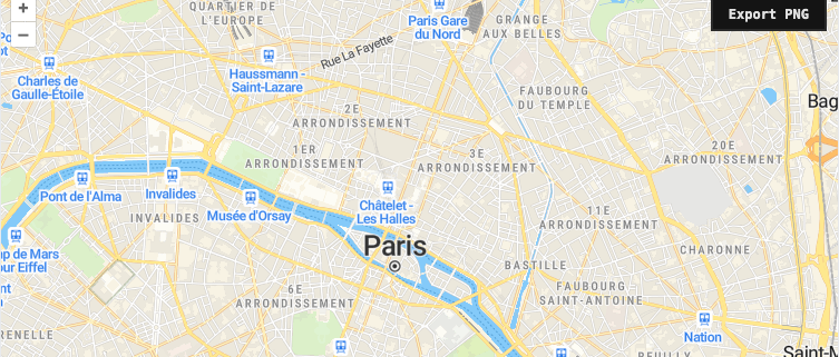
Export Map as PNG with OpenLayersCapture the current OpenLayers map view as a downloadable PNG image using the canvas export API.
chevron_right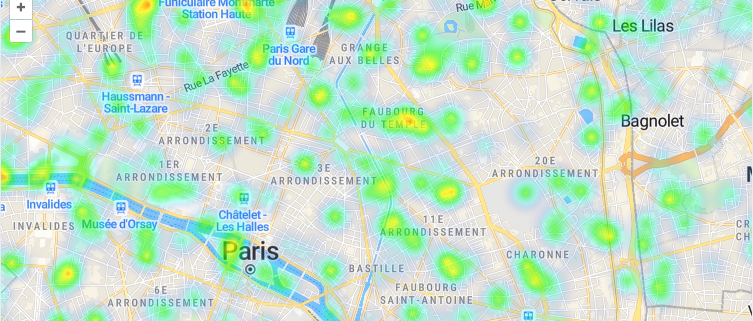
Heatmap Layer with OpenLayersVisualize point density using ol.layer.Heatmap with weighted features on a MapTiler basemap.
chevron_right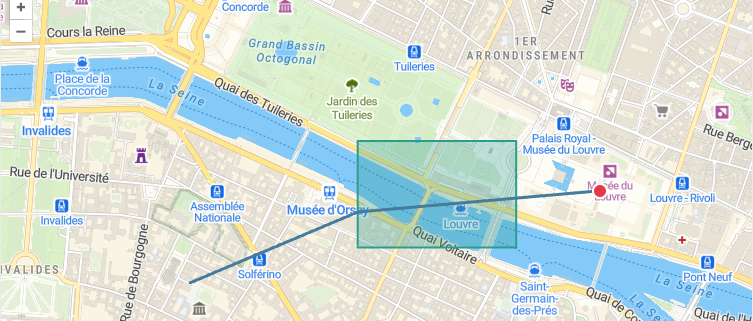
Load GeoJSON in OpenLayersFetch and display GeoJSON features on an OpenLayers map using ol.format.GeoJSON and a styled vector layer.
chevron_right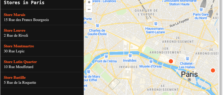
Store Locator with OpenLayersBuild a store locator with a sidebar list, point features, and popup overlays using OpenLayers.
chevron_rightauto_awesome
Build maps using OpenLayers with AI
Install the OpenLayers skill in your IDE and let AI write the code for you.
All examples use MapTiler maps and require a free API key.